
價格:免費
更新日期:2015-06-02
檔案大小:87.4 MB
目前版本:4.0
版本需求:需要 iOS 8.2 或以上版本。與 iPhone、iPad 及 iPod touch 相容。
支援語言:英語
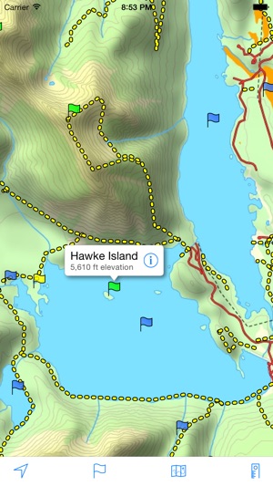
A topographical map of Kananaskis Country, Alberta, Canada.
The trails on the map include Burstall Pass, Chester Lake, Rawson Lake, Elbow Lake, Ptarmigan Cirque, Nihahi, Moose Mountain, and Ribbon Falls.
- Search or browse the names of trails, mountains, lakes, rivers, creeks, and backcountry campgrounds.
- Track your current location and elevation with GPS (on devices with a GPS receiver).
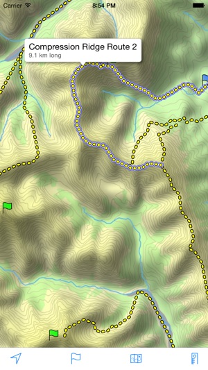
- Add flags (waypoints) to mark locations, including your current location and elevation.
- Share flags with others using email or message.
- Measure distance by sliding finger across the map.
- Use the map with no Internet connection. The entire map is stored on your device.

Note: This is an unofficial map and is not endorsed by the Government of Alberta.
支援平台:iPhone, iPad